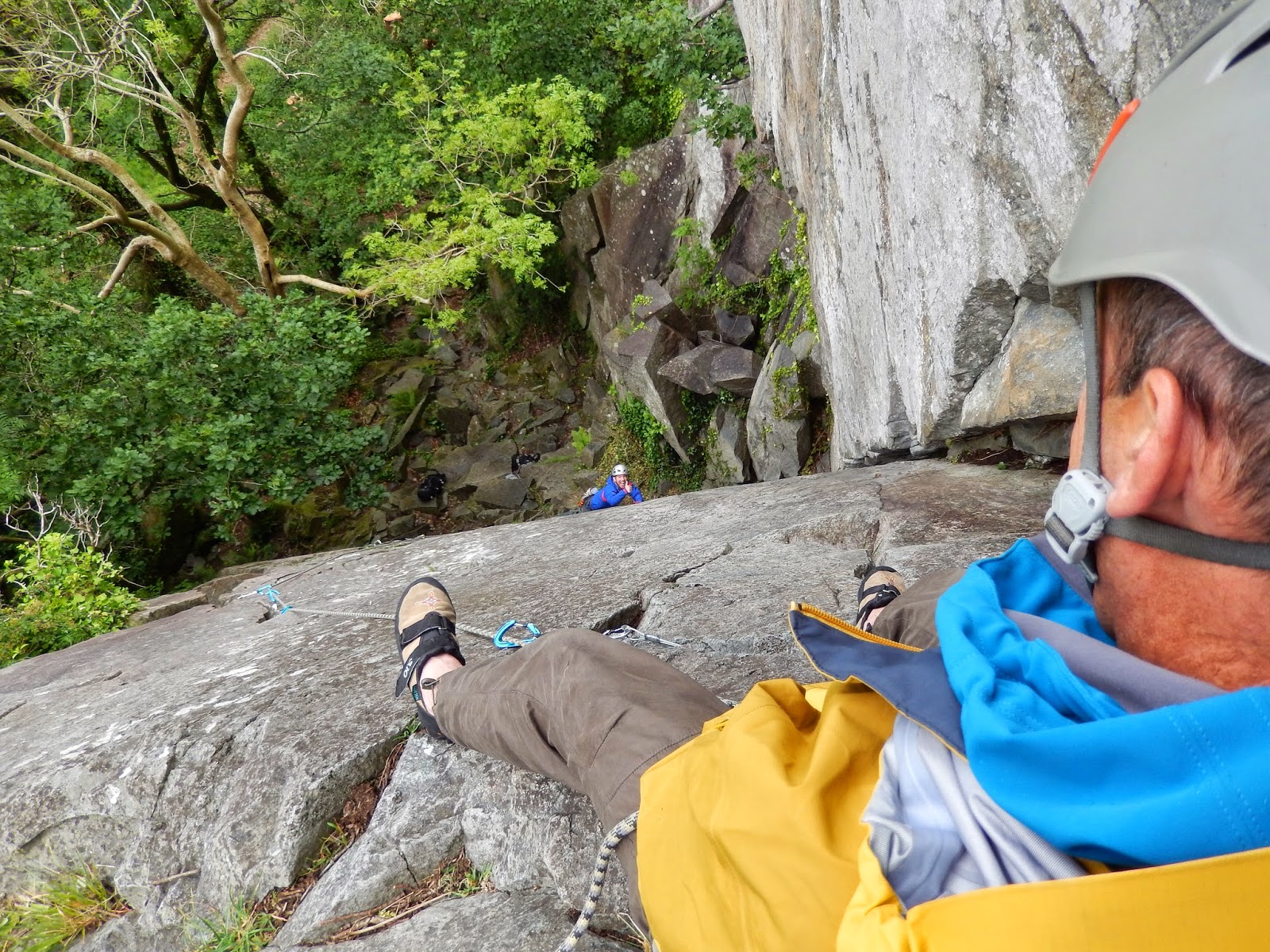
I'm working for Plas y Brenin this weekend running a winter navigation course. As there isn't much in the way of winter conditions we decided that a long mountain day would be best so that we could look at map interpretation, compass work, pacing, timing and the use of 1:50,000 and 1:25,000 maps. We were dropped off at Pen y Pass and then made our way up Glyder Fawr and then followed the ridge all the way back to Plas y Brenin via Glyder Fach and Y Foel Goch. We left the centre late so that we could do some night nav on the way down and got back just in time for supper at 7. The photo's are of Tryfan and Colin and Carl approaching the top of Glyder Fawr.

 I'm working for Plas y Brenin this weekend running a winter navigation course. As there isn't much in the way of winter conditions we decided that a long mountain day would be best so that we could look at map interpretation, compass work, pacing, timing and the use of 1:50,000 and 1:25,000 maps. We were dropped off at Pen y Pass and then made our way up Glyder Fawr and then followed the ridge all the way back to Plas y Brenin via Glyder Fach and Y Foel Goch. We left the centre late so that we could do some night nav on the way down and got back just in time for supper at 7. The photo's are of Tryfan and Colin and Carl approaching the top of Glyder Fawr.